


All Stories!
Directions:
From Boise take I-84 to exit 216 (Declo); go south on Idaho 77 to Conner Creek Junction, then southwest on the Elba-Almo Road. One mile south of the visitor center in Almo, PASS BY the intrance to City of Rocks/Equestrian Campground. Instead, continue straight south onto dirt road, and you'll shortly see Ridecamp on your right - Castle View RV Park. Follow the pink ribbons & Ridecamp signs! From Pocatello and Idaho Falls, take I-86 and I-84 to exit 216 and proceed as above. From Salt Lake City take I-84 to exit 245 (Sublett/Malta) then head west toward Malta. Turn left (south) onto highway 81 for .2 miles to Highway 77, then turn right (west). At Connor Creek Junction, follow directions above toward Almo.Weather:
Basecamp is at 5500 ft and weather in July should be comfortable. Average high temps are in the 70's, average low temps in the 40's. Be prepared for anything though! Could be much hotter (or much colder). Thunderstorms are possible but not likely in July.Wunderground forecast for Almo, Idaho
Trails and footing
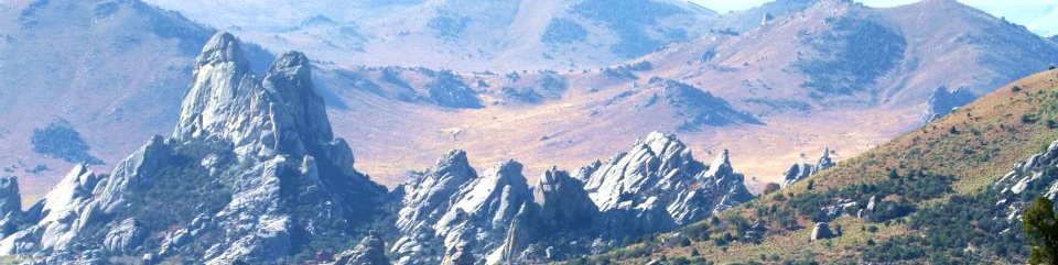
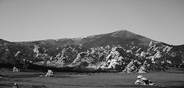
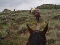
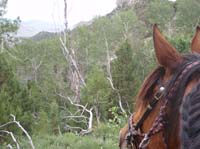
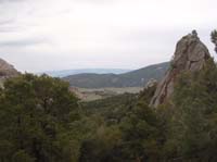
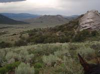
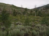
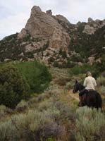
Footing in this area is good, with a few rocky sections, but it is NOT a rocky ride! There will be some climbing everyday into the aspen forests. There are beautiful single track trails through the City of Rocks National Reserve, and 2-track roads and cow trails through BLM land. USFS trails will be a combination of dirt road and 2-track, some single track trail through the aspen groves.The course will be rolling - with climbs each day into the aspen groves, around 7500 ft elevation. Saturday riders will ride into the National Forest - with a vetcheck at 8300ft, highest point for 50 milers is 8500 ft. Moderate difficulty, but every day except Day 2 there will be significant climbing.
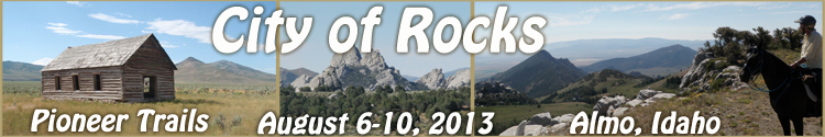
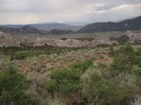
Almo, Idaho
History, pioneers, wagon trains, agricultureShops and Amenities
Outpost Steakhouse (GOOD!)Almo Creek Inn
Tracy Creek General Store
Durfee Hot Springs - several pools and outdoor showers)
Showers, toilets and Internet at Smokey Mountain Campground (small fee) adjacent to basecamp