


Interactive Trail Map
Previous Years
20032004
2005
2006
2007
2008 Day 1 - Castle Creek
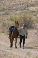
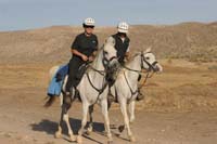
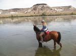
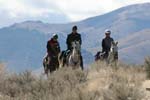
Images by Merri Melde

Day 4 Results and Images
   |
New! all 50, 55 mile distances are AHA recognized. ~ 5 Days of Endurance Rides- 50, 55, 50, 55, 50 ~ 5 Days of Limited Distance - 25, 25, 30, 30, 25 ~ 2 Days of Trail Ride (Saturday and Sunday) Come ride the historic trails of Southwest Idaho's rugged Owyhee country! Ride all day and come back for a hot shower, happy hour in the shaded yard, and a hearty Idaho dinner by Blue Canoe Catering. Sleep under the starry skies, and ride again the next day! (or maybe just relax and enjoy the late summer sun...) This year we'll be offering Limited Distance rides every day, and also a 2-day Trail Ride on Saturday and Sunday. Breakfast, Lunch & Dinner will be available all week! Dinner is free with ride entry, breakfast and lunch may be purchased. Blue Canoe Catering. Ride Managers: Steph & John Teeter Ride Vets: Michael Peterson, DVM (head vet) Robert Washington, DVM (treatment, control) Gene Nance, DVM (control) Assistant Manager: Regina Rose |
50 Mile Results25 Mile Results |
2008 Photo Galleries |
Day 2: 55 Mile Results
|
2008 Photo Galleries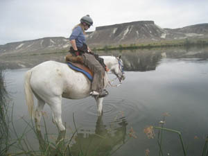 |
Day 3: 55 Mile Results
|
2008 Photo Galleries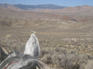 |
Day 4: 55 Mile Results
|
2008 Photo Galleries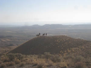 |
Day 5: 55 Mile Results
|
2008 Photo Galleries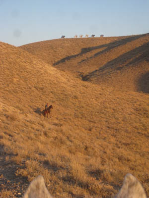 |
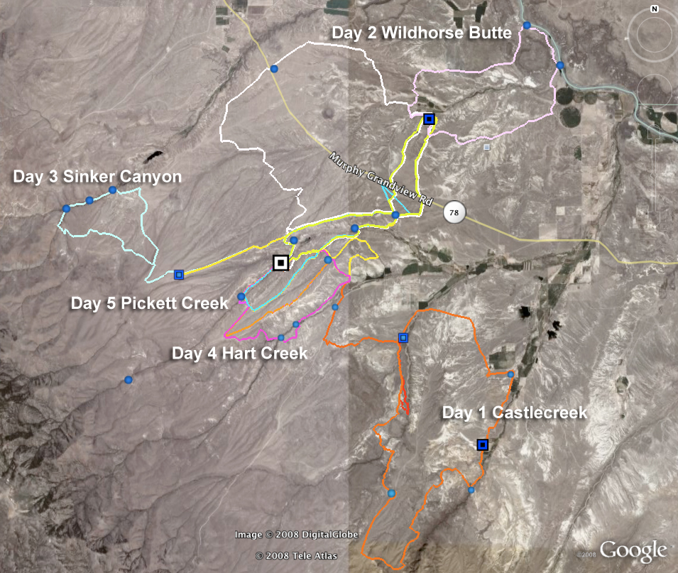 5 day overview map
Trail Summary
2008 Trails Description
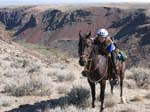
Castlecreek photos 2007
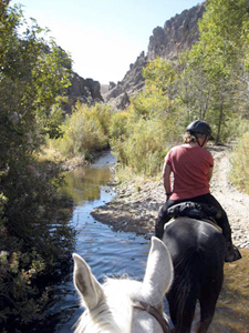
Day 1, Wednesday. Castle Creek Canyon. 50 miles and 25 miles. download/printable map:
trail map || trail map and google earth topo
50's: Very scenic, fairly rocky overall. Moderate to easy in difficulty. There are a few very rocky technical sections in the morning. Otherwise, decent footing, some short rocky stretches, ranch roads, single track through canyon area. One out vet check half-way. Ride through Browns Creek Canyon, above Castle Creek Canyon, and through a short section of the canyon above the TX Ranch (Collettes).
25's: Fairly easy trail, with minimal rock, but some sections of sand wash. One out vet check. You will cross Hart Creek and ride the trails on the south side of Triangle Road. .
 Wildhorse photos 2007
Day 2, Thursday, Wild Horse Butte. 55 miles, 25 miles. download/printable map:
trail map || trail map with google earth topo
55's: Mostly good footing. Some sandy stretches, minimal rock, some single track through badlands, lots of dirt road (Oregon Trail) with good footing. Single track trail along the Snake River, around Wild Horse Butte. Two out vet checks, both in same location.
25's: Fairly easy trail, good footing, single track and dirt roads, one out vet check
 Sinker photos 2007
Day 3, Friday, Sinker Creek Canyon. 50 miles, 30 miles. download/printable map
trail map || trail map with google earth topo
50's: Moderate to easy trail, very scenic! VERY rocky as you ride through canyon for 5 miles. Cows/calves and low branches in canyon - no trotting through here! But take your binoculars and camera - raptor nests in canyon walls, great rock formations, pretty trail! Please walk through ranch area. Two out vetchecks in same location (5 miles from camp up Bates Creek Rd)
30's: Ride through Sinker Canyon, one out vet check on Bates Creek Rd.
 Hart Creek photos 2007
Day 4, Saturday, Hart Creek Canyon, 55 miles, 30 miles and Trail Ride. download/printable maps:
trail map || Trail map with google earth topo
55's: All vet checks in camp. Moderate trail, some climbs and rocky sections. Ride through the old homestead on Hart Creek, and along the rim above Hart Creek Canyon. Very scenic. Mixed footing - some sand, a rocky climb out of the canyon, fairly technical trail in places.
30's: One vet check in camp. Fairly technical trail, some climbs and rocky sections. Very scenic.
Trail Ride: Ride the 15 mile loop down into Hart Creek and through the old Homestead. Moderately difficult. Or ride the 10 mile rim trail above Hart Canyon for an easier, but still scenic, ride.
Day 5, Sunday - Picket Creek Canyon: 50 miles, 25 miles and Trail Ride.download/printable map:
trail map || trail map and google earth topo
All vet checks in camp. All distances wil ride through 'the narrows' at Picket Creek Canyon, a short rocky section along the creek bed where you can touch the rock walls and see bird nests in the rock cracs - very scenic! Additional loops for 25's and 50's with good footing and minimal difficulty. Trail ride will follow rim trail above Hart Creek and return via 'the narrows'.
National Weather Service: 7 day forecast for Murphy/Oreana, ID - 83650
Normal high temperatures (for Boise) are in the mid 70's. Normal low temperatures are in the lower 50's. It is typically dry and sunny, though showers are possible.
This page will give you the daily averages for the month of September in Boise. Oreana can be a little warmer and drier on average than Boise.