


2010 Owyhee Spring
Images by Merri Melde


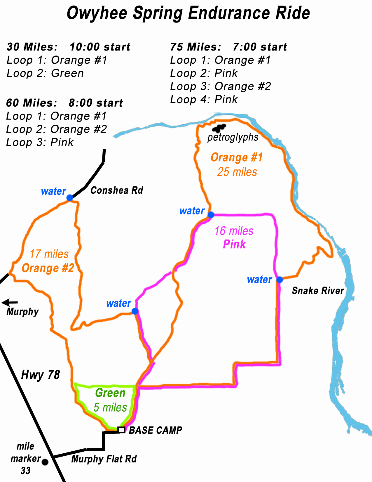
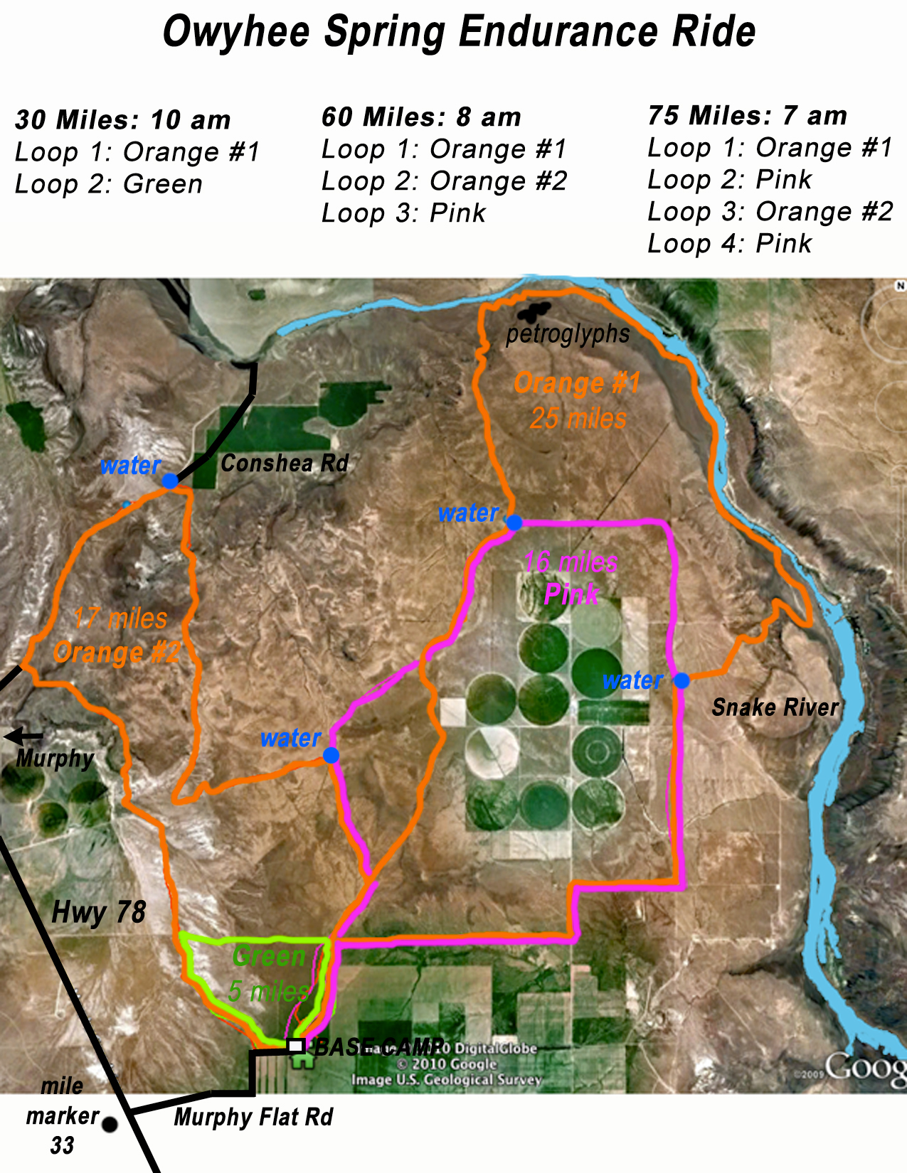
Owyhee Spring 30/60/75
 |
 |
Saturday May 1 2010
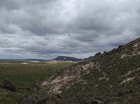
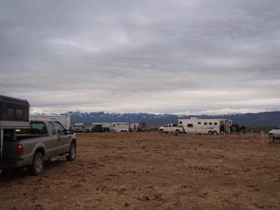
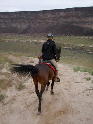
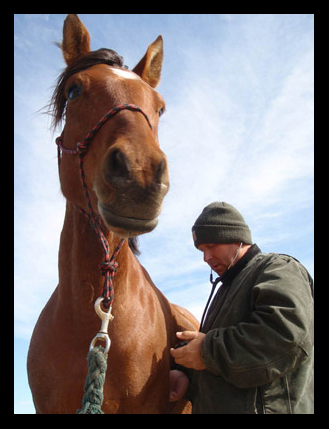
In a spring endurance ride in Owyhee in southern Idaho, you get a bit of everything: rain, sleet, wind, hail, sun, gales, bugs, cold, awesome horses, spectacular scenery, great trails, a bit of history, good friends, and of course fun. I rode the 60 miler on my pal Jose, with Steph and Rhett.
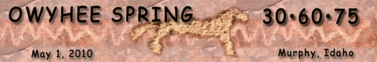
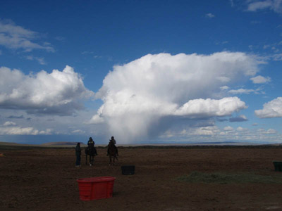
This was the brief bit of sun for the day: notice there is hardly a cloud in the sky as we are saddling up at 7 AM.
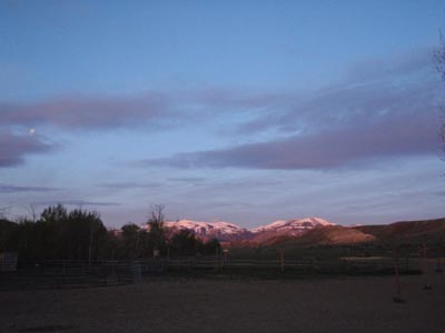
Notice, 45 minutes later, ready to start the ride at 8 AM, there's not a spot of sunshine! I'm quite glad I overpacked a duffel bag with extra clothes.
Loop 1 - 25 miles:
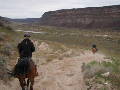
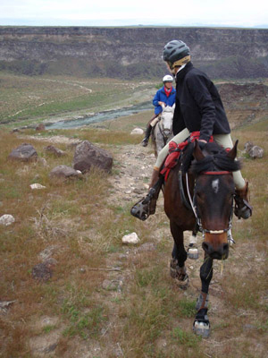
Heading down into the Snake River Canyon, to the petroglyphs. This is Nance and Jazzbo.
Two riders on the trail far below us.

Still going down.
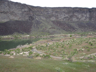
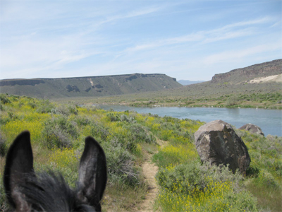
On the trail along the Snake River. Here the water was glassy and looked like a lake. If you jumped in though, it would sweep you mighty quickly downstream.
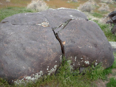
We rode by some boulders with petroglyphs - some of this artwork has been dated back 11,000 years.
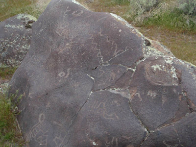
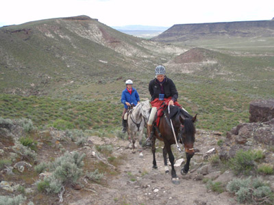
Richard caught up with us and rode with us the rest of the day. He's checking out the petroglyphs.
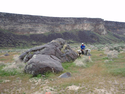
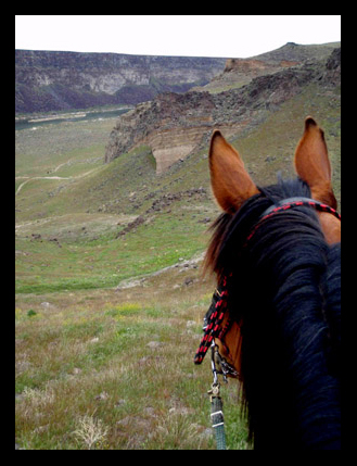
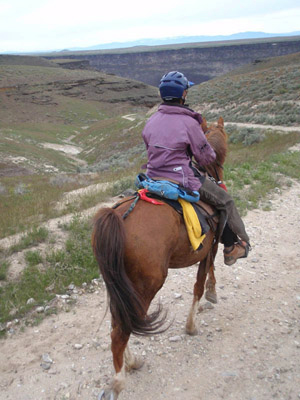
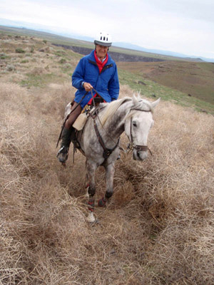
Climbing up the steep rocky trail out of the Snake River canyon.
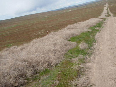
A couple of places in the ride illustrate the expression, "That's SO Idaho!" One would be this tumbleweed barrier. When Steph was marking trail for the ride, she spent about an hour in multi-directional gale force winds trying to clear a path through this sea of tumbleweeds. She'd toss them in the air and they'd fly right back at her; she'd clear a few feet and the path would fill in again. (And note to those not familiar with tumbleweeds. They are not cuddly. They are a rolling big ball of stickers!)
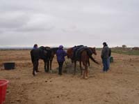
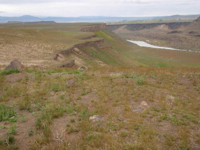
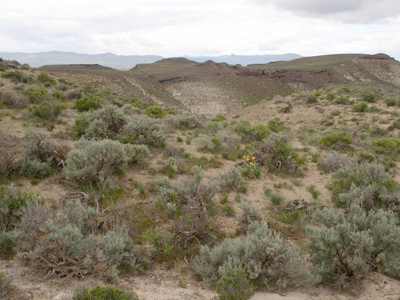
The view back to the Snake River canyon.
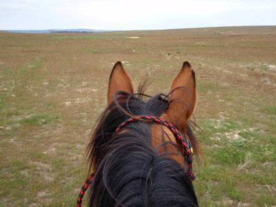
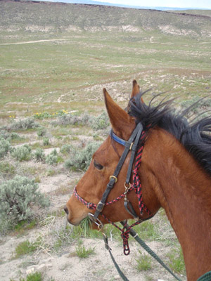
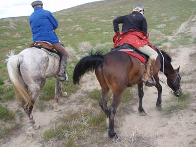
Jose spies distant riders with his elf eyes.
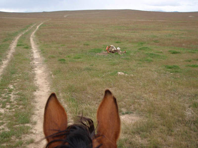
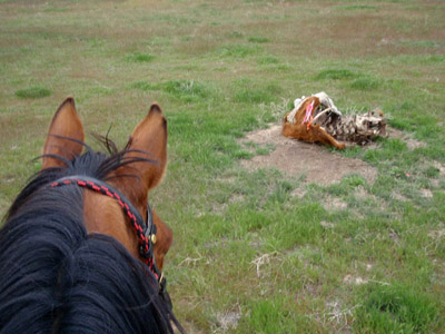
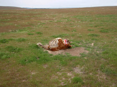
There isn't a lot of choice in where you pin your trail ribbons in some of this country. Here Steph used a cow carcass to hold ribbons. Another "That's SO Idaho!" moment.
Jose is not so sure about this trail marker holder.
Loop 2 - 17 miles:
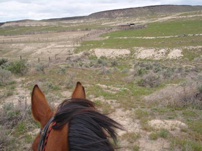
Rolling sand hills and an old cow camp.
Descending off a plateau. The old historic Oregon Trail is below, where Con Shea road is now.
Jose waiting for his pals.

We had an awesome couple miles of cantering down Con Shea road.
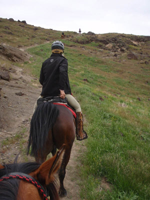
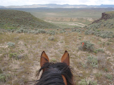
Climbing out of the Snake River canyon again, up onto a plateau.
Jose loves to stop and look at the views.
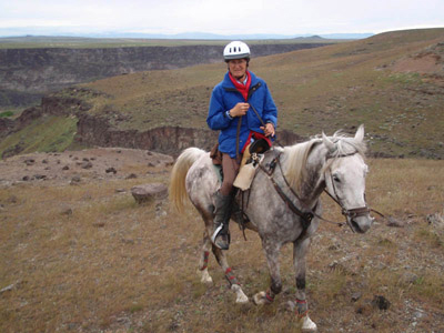
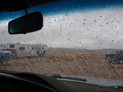
Vet check two: it's spitting ice balls! Notice the expression on Jose's face!

We stayed inside the truck cab and whined just a bit.
Loop 3 - 16 miles:
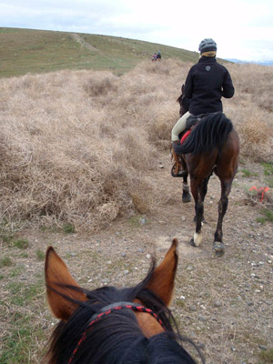
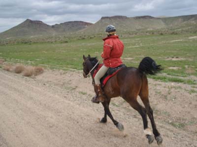
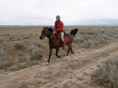
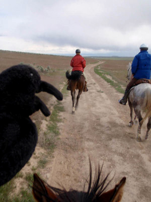
Steph and Rhett cruising along. Rhett always travels with his tail high in the air, waving like a flag. You can spot him anywhere.
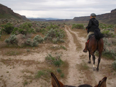
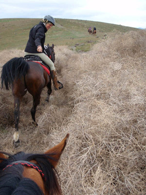
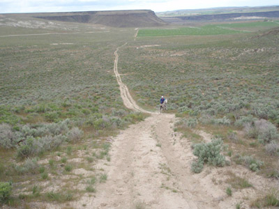
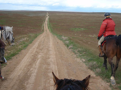
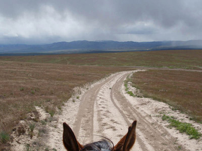
A long road ahead of us.
There was a ridiculous amount of grass on the trail. Our horses ate a lot during the day!
This is a southern Idaho fence - about 8 feet thick on both sides with tumbleweeds. That's SO Idaho!
The typical spring weather - sun and rain/ice squalls.
Of course the Raven rode along!
Another squall.
Jose at his final vet check. He completed! We finished 3rd and 4th (Steph said we'd go 'slow' today!), and 20-year-old Rhett reached his 4000 miles today!
|
Online Registration - register now (it's easy) and pay later 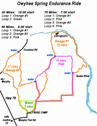 Download pdf map View larger jpg map 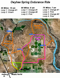 Download pdf map (google earth) View larger jpg map
|