


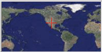
Requires GoogleEarth
FEI Definite Schedule
Organizing Committee

Event Sponsor
Las Cruces Business

City of Las Cruces
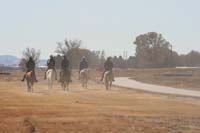
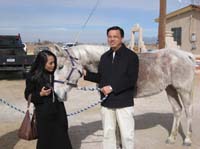
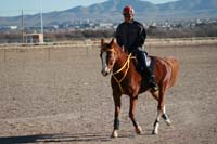
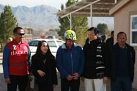
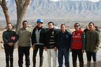
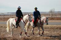
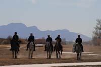
2007 Las Cruces- A Warm-up Ride
Images by John Teeter
The Trail
Below, you will find a screen snap of the Google Earth view of the trail. This view is a static view only. The internactive/dynamic view may be seen by clicing on the earth images to the right!The ride consists of 6 phases, with 5 Gate2Hold rest stops.
| Distance | Hold | ||
|---|---|---|---|
| Phase 1 | 15 Miles | 40 min | 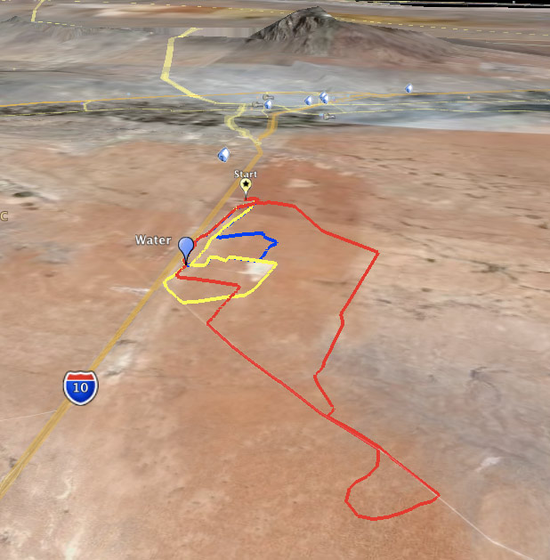 |
| Phase 2 | 25 Miles | 50 min | |
| Phase 3 | 10 Miles | 30 min | |
| Phase 4 | 25 Miles | 50 min | |
| Phase 5 | 15 Miles | 40 min | |
| Phase 6 | 10 Miles | Finish |